COENGR EYE
Aerial view of an active construction site
What We Do

Onebrief.
Everythingcovered.

We plan the shoot, fly it, then edit and deliver the final files. The same team stays on your project from the first brief to handover.

Scroll
Photography and Filming
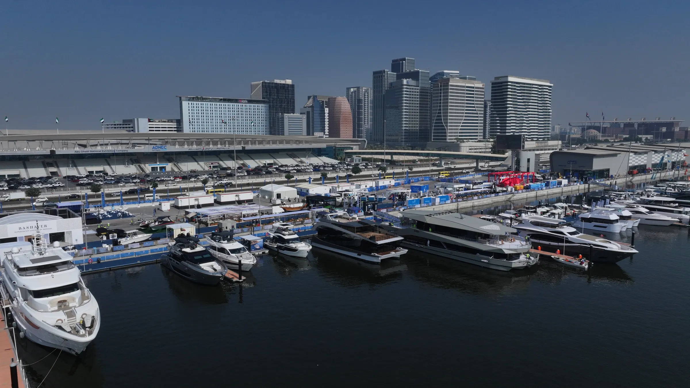
01 / 06aerial photography
l → r
Service / 01

Photography and Filming

Drone, ground, and FPV. One crew covers every angle.

  • 6K HDR aerial video from a large-format sensor
  • 100-megapixel stills, printable at any size
  • Ground photography and video on every aerial shoot
Aerial Survey and Mapping
02 / 06mapping
r → l
Service / 02

Aerial Survey and Mapping

Centimetre accuracy. Engineered for CAD, GIS, and BIM.

  • Georeferenced orthomosaic maps from drone photogrammetry
  • Digital elevation and surface models at survey grade
  • GCP controlled accuracy to the centimetre
Construction Site Inspections
03 / 06construction
l → r
Service / 03

Construction Site Inspections

Live progress, on every reporting cycle.

  • Photos from the air and the ground on every visit
  • Marked-up images and clear progress reports
  • Before and after comparisons you can show anyone
04 / 06360 experiences
r → l
Service / 04

360° Experiences

True 3D walkthroughs, not flat panoramas.

  • Step inside in true 3D, with real depth in a headset
  • Sharp 360° video and photos you can look around in
  • Real sound from the space, so it feels alive
Timelapse Documentation
05 / 06timelapse
l → r
Service / 05

Timelapse Documentation

Months of work, told in sixty seconds.

  • Solar-powered cameras that run on site in any weather
  • Wide, ultra-detailed frames that capture the whole site
  • Fully automated. No one needs to visit the camera
06 / 06inspection
r → l
Service / 06

Aerial Visual Inspection

Thermal and visual eyes on what you cannot reach.

  • High-resolution visual capture for clean defect detail
  • Radiometric thermal imaging for hot spots and leaks
  • Rooftop, bridge, pipeline, and tower inspection
How It Runs

Brief.Capture.
Process.Deliver.

Step 01

Brief

Tell us the site, the deliverable, the deadline. We scope and quote.

Step 02

Capture

Licensed pilots fly the site. Ground crew works alongside. Survey rigs, cinema cameras, thermal payloads. Whatever the job demands.

Step 03

Process

Edit. Render. Georeference. Annotate. Every output reviewed before it leaves the studio.

Step 04

Deliver

Files in your inbox. Native formats your team already works in.

Who We Serve
  • engineering
  • construction
  • government
  • energy
  • real estate
  • media
  • tourism
  • aviation
  • urban planning
Ready to fly?

Haveabrief?
Senditover.

One team for capture, processing, and delivery. Tell us the site, the deliverable, the deadline.