AerialSurveyand
Mapping.
Centimetre accuracy. Engineered for CAD, GIS, and BIM.
What you actually get.
Photogrammetry from the air, anchored to surveyed ground control. Paired with sub-centimetre LiDAR scanning of buildings and interiors. Outputs drop straight into AutoCAD, ArcGIS, and BIM. Survey grade, defensible, decision ready.
Whatlands
inyourinbox.
Orthomosaic Map
True-scale, georeferenced aerial image. Every pixel has real-world coordinates. Import directly into GIS or use as a base layer for your design.
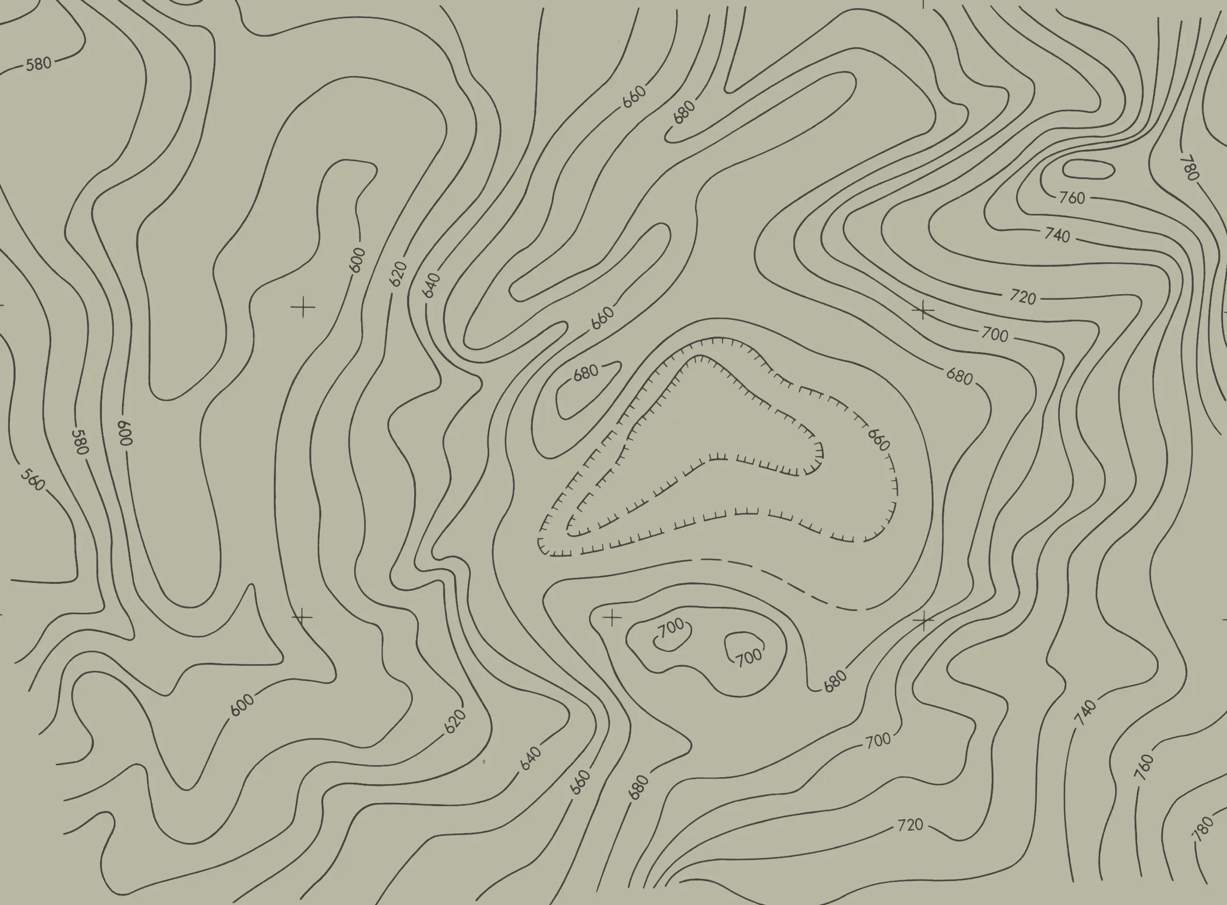
Digital Elevation Model
Surface and terrain height data across the full site. Feeds cut and fill calculations, drainage planning, and slope analysis.
3D Point Cloud
Millions of georeferenced 3D points, RGB-coloured and classified. Stockpile volumes, structural modelling, and site change detection.
LiDAR Scan Data
Sub-centimetre scanning of built environments, indoors and out. Walls, facades, and structures captured in full 3D.
Volume Report
Cut, fill, and stockpile volumes calculated from the surface model. Figures you can put in a project report and sign off.
CAD Export
Contour lines, breaklines, and survey points formatted for your design tools. Ready to open, no conversion needed.
Everythingin
thisservice.
Georeferenced orthomosaic maps from drone photogrammetry
Digital elevation and surface models at survey grade
GCP controlled accuracy to the centimetre
3D point cloud and mesh, indoor and outdoor
Sub-centimetre LiDAR scanning of built environments
Cut and fill volume calculation
Outputs: DXF, LAS, GeoTIFF, OBJ, PDF
Wherewe
deploy.
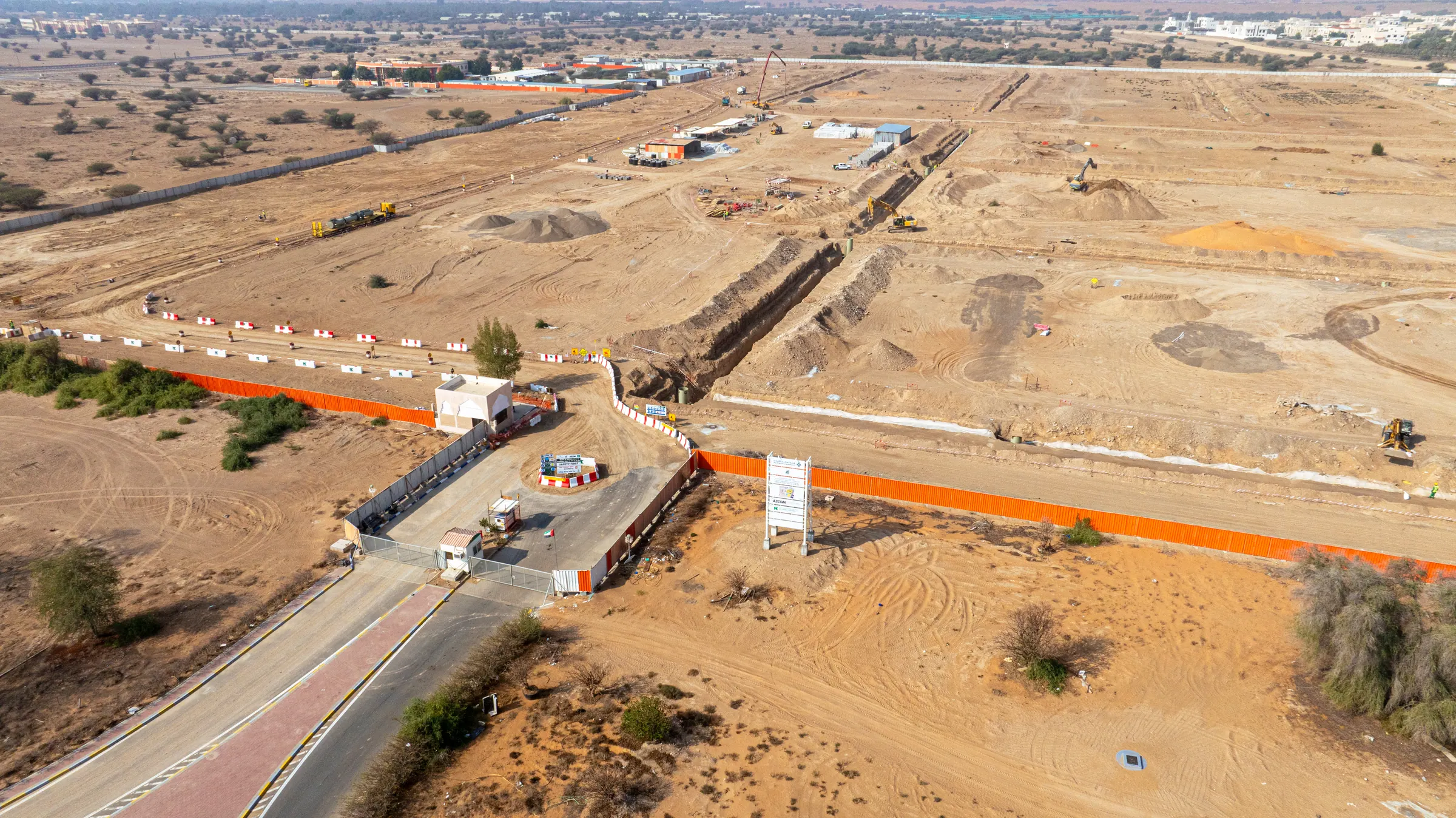
Construction & Earthworks
Volume tracking, progress models, and cut/fill reports on every site visit.
Infrastructure & Roads
Corridor surveys, alignment checks, and asset inventory for linear infrastructure.
Oil, Gas & Energy
Facility mapping, pipeline routing, and plant-level survey data.
Real Estate & Master Plans
Basemaps, plot boundary surveys, and development site documentation.
Mining & Quarrying
Reserve estimation, pit surveys, and volumetric reconciliation.
Government & Municipal
Cadastral mapping, utilities, drainage planning, and public works documentation.
Study.Fly.
Process.Deliver.
Site Study
Walk the site. Review CAD, as-builts, and coordinate system requirements. Scope the deliverable and confirm accuracy targets.
GCP Network
Ground control targets placed and surveyed to sub-centimetre accuracy using GNSS. More control, tighter result.
Flight
GCAA licensed pilot executes the mission at calibrated altitude with pre-set overlap ratios. Protocol, not guesswork.
Processing
Photogrammetry and LiDAR data processed and aligned to the GCP network. Orthomosaic, point cloud, and DEM generated.
QA & Delivery
Accuracy validated against independent checkpoints. Files exported in your formats, labelled, and sent.

Haveabrief?
Senditover.
Centimetre precision from the air, formatted for your tools. Tell us the site, the deliverable, the deadline.